Web, GIS
Case Study: California Sensitive Sites
Challenge
In 2018 a new regulation requires growers in California to notify schools and daycare centers of planned pesticide usage within a ¼ mile buffer zone.
Client
State of California
Users
40,000

Solution
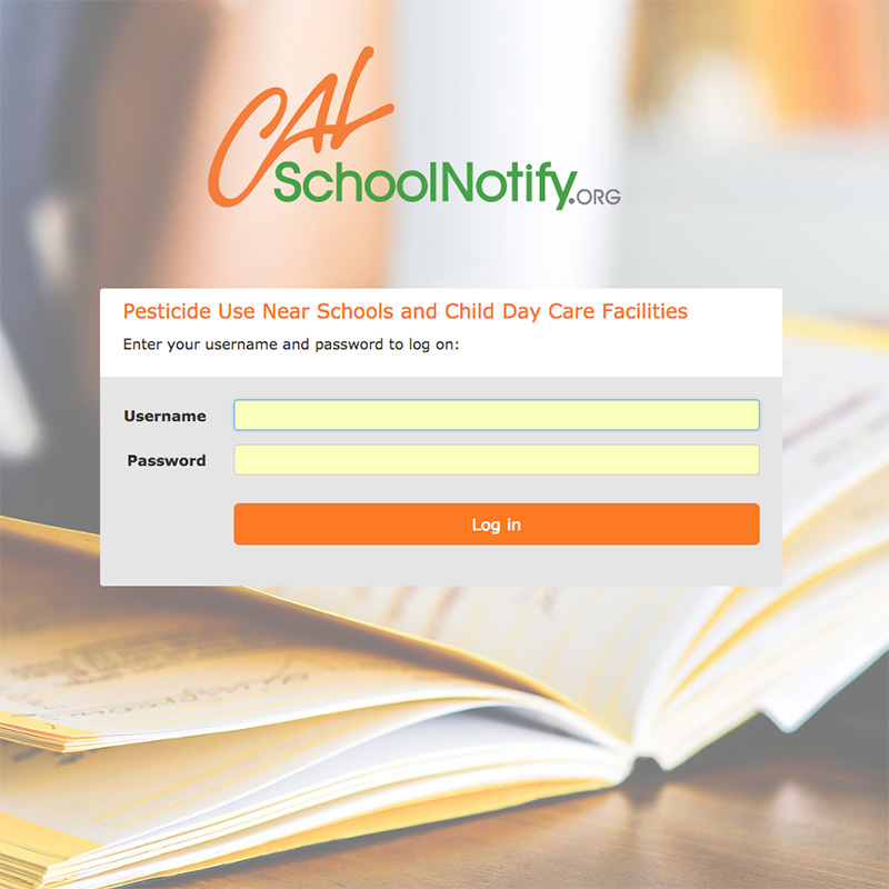
Integrated geographical analysis of crop land and school boundaries into the existing permitting system to automatically identify affected growers and schools. Created a simple online tool for schools to evaluate and modify their boundaries. Also developed a process to minimize regulatory impact for growers by generating and electronically submitting electronic notifications to schools.

In January 2018, a new regulation went into effect where growers in California have to notify schools and daycare centers that are located within ¼ mile buffer about planned pesticide usage. Given the great working relationship between CACASA, DPR and CaliCo Solutions and the extremely short time, CACASA trusted CaliCo Solutions to lead the effort for a successful implementation of the regulation.
The first step was to determine how many growers and schools are affected by this regulation. We performed geographical analysis of sites and school boundaries to gain a better understanding about the impact of the regulation. We then designed a procedure to accurately assess the correct school boundaries, and an exchange of notifications between the school and the grower with minimal impact on the industry.

As of the beginning of 2018 with the system fully implemented, the verification of the school boundaries is on the way. The agricultural offices educate the growers about their responsibilities using the software system. Although growers are not required to send out notifications to school administrators the first notifications have been sent out the beginning of the year.